
Make the McKenzie Connection!
Make the McKenzie Connection!
USFS to assess fire affected travel areas
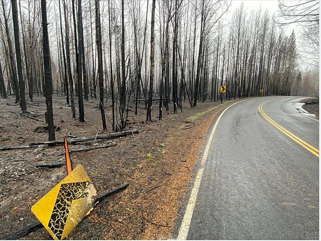
The Willamette National Forest has authorized the 2020 Fire Affected Road System Risk Project, which aims to reduce the risks posed by fire-killed and injured trees along roads while restoring access to and through the burned area.
The work will involve cutting and falling fire-killed and damaged trees along 250 miles of important access routes within the 2020 fire-affected road system. Moderate, high, or mixed tree mortality trees likely to survive the effects of fire or don't threaten the roads will be left standing. Officials say as those killed or injured trees fall, they may block and damage Forest Service roads, making them impassable and obstructing access.
When roads are blocked by fallen trees it is considered a hazardous area unsafe for the public and causes significant impacts on road conditions.
To determine which roads to include, the Willamette National Forest considered two main factors: access needs along the route and the concentration of fire-killed and injured trees that are along segments of the road. Once trees are fallen, the project will also remove them along with fine fuels, such as brush and branches - within 100 feet of the road - to reduce hazardous fuels along roads within the areas burned by the Holiday Farm, Beachie Creek, and Lionshead fires.
A large portion of the work is expected to be accomplished in the first year, particularly high priority areas; however, project activities could continue for a few years.
Variables that could impact the duration of the project include contracts and weather conditions. Planners are developing an interactive story map.. More information on the map will be available soon.
The signed Decision Notice and additional project information are available online at: tinyurl.com/3hrh6bwf.


Reader Comments(0)