Foley Ridge Fire expands to 245 acres
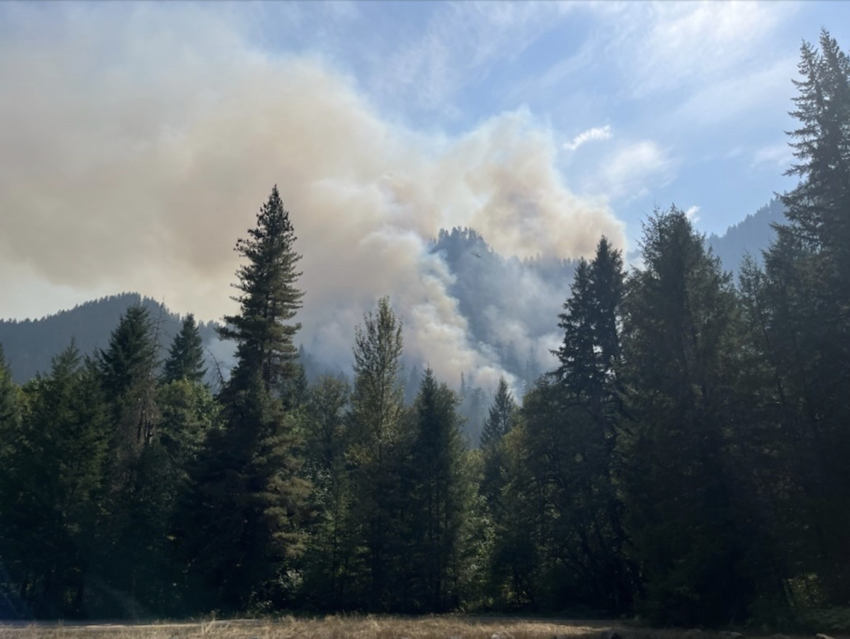
Full suppression activities continue on the Foley Ridge Fire on the McKenzie River Ranger District. The fire is now estimated at over 245 acres.
The lightning-caused Foley Ridge Fire was reported on Sept. 6 and is located on a cliff visible from Oregon Highway 242 (McKenzie Highway) east of McKenzie Bridge.
Crews, dozers, engines, excavators, feller bunchers, chippers, and helicopters are aggressively engaging the fire. Support is also being provided by the Oregon Department of Forestry.
Today, a Type 3 incident management team was in-briefed. Earlier in the day, aircraft dropped water buckets on the fire. Due to thunderstorms and poor visibility, helicopters were grounded in the afternoon for safety.
The Type 3 incident management team will assume command of the fire at 6 a.m. tomorrow. Local resources will remain available to the district to respond to any new starts.
Smoke is visible in the vicinity of the fire and is expected to settle into nearby drainages overnight. Smoke and air quality information is available at https://www.oregonsmoke.org/.
Visitors should be aware of increased fire traffic and avoid the area. Additional aircraft activity will be visible around McKenzie Bridge State Airport.
For the status of Highway 242, please check the Oregon Department of Transportation’s website at https://tripcheck.com.
Please remember to check for and follow all fire restrictions when visiting the Willamette National Forest at https://www.fs.usda.gov/r06/willamette/fire.
Visit our website at www.fs.usda.gov/r06/willamette/fire and follow us on Facebook and X @WillametteNF for current fire information.
Author