Officials Provide Update on Foley Ridge Fire
Community members gathered Monday for a public meeting on the Foley Ridge Fire, where Nevada Team 4 introduced their leadership and outlined progress on suppression efforts.
Key incident management staff included the Foley Ridge Fire Incident Commander, Operations Chief Chris Barton, as well as Forest Supervisor Robert Sanchez.
Charlie Jones, serving as Incident Commander trainee, gave a chronological briefing on the fire. Detected September 6 following a lightning strike, the fire was initially estimated at 1–2 acres in rugged terrain. By the next day, it had grown to 15–20 acres despite suppression efforts, and by September 8 it was estimated at 50 acres. At that point, the Forest District requested an incident management team to focus exclusively on Foley Ridge while district resources managed other fires.
On September 9, a Type 3 team began its in-briefing and shadow day, preparing for the handoff. Nevada Team 4 officially assumed command September 10 at 6 a.m., when the fire was mapped at 437 acres. Jones said the team continues full suppression, including indirect fireline strategies where terrain allows.
Operations Chief Barton expanded on current conditions, noting that firefighters were able to secure a key ridge early on, preventing the fire from spreading farther upslope. He said the most difficult work remains in steep canyons marked by cliffs, rock outcrops, and heavy timber – terrain too dangerous for ground crews.
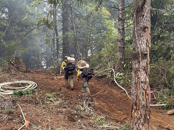
Workers have reinforced dozer lines and installed hose lays across the upper perimeter, bringing that section into patrol status. On the east and west flanks, identified as Divisions Alpha and Mike, firefighters recently established an anchor point with the help of a Type 1 hotshot crew and a local Type 2 initial attack crew.
Barton said aerial infrared mapping with drones shows the fire’s ridges holding well, with minimal remaining heat. The overall strategy is to “box in” the fire using dozer lines, existing roads, and fuel breaks, with the goal of tying containment lines into Highway 242.
Despite the rugged terrain, Barton stressed that crews are making steady progress. “We’ve got a strong hold on the upper end of the fire,” he said, “and we’re working methodically to secure the flanks and complete the box.”
By Tuesday, the Foley Ridge Fire had been mapped at approximately 437 acres, with most of the fire activity along the western edge of Foley Ridge. With continued warm and dry conditions, increased fire activity is expected. The fire is anticipated to stay active overnight, with roll out and isolated single tree torching likely.
Officials said full suppression efforts are progressing with firefighters on the southern and eastern flanks, patrolling and securing hot spots where direct handline and dozer line have been constructed. To date, crews have constructed over 3 miles of dozer line and 1.25 miles of handline and deployed more than 30 miles of hose.
By Tuesday, the Foley Ridge Fire had been mapped at approximately 437 acres, with most of the fire activity along the western edge of Foley Ridge. With continued warm and dry conditions, increased fire activity is expected. The fire is anticipated to stay active overnight, with roll out and isolated single tree torching likely.
Full suppression efforts are progressing with firefighters on the southern and eastern flanks, patrolling and securing hot spots where direct handline and dozer line have been constructed. To date, crews have constructed over 3 miles of dozer line and 1.25 miles of handline and deployed more than 30 miles of hose.
Fire operations are scouting for opportunities to construct contingency handline and conduct burn outs with strategic firing operations. Carried along established containment lines, firing operations aim to eliminate ground fuels and create a buffer zone. This strategy employs a lower-intensity fire that can help secure the perimeter in terrain too hazardous for direct engagement.
Structure protection activities continue around Yale Camp, the Foley Seed Orchard, and White Branch Youth Camp. The shaded fuel break along Highway 242 is well-established, and fire operations are actively scouting with opportunities to add depth to these indirect containment lines.
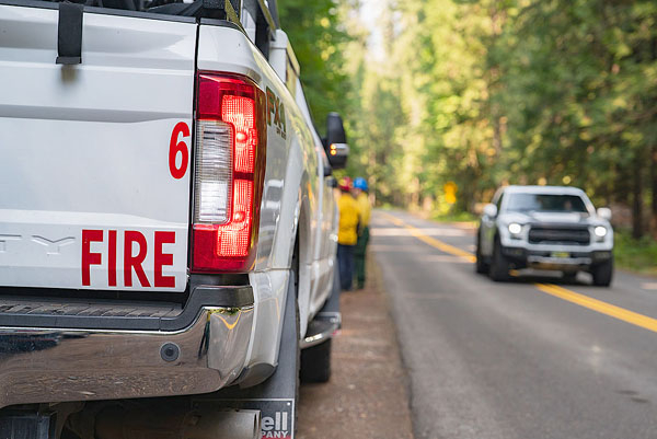
Hwy. 242 was closed to traffic on Tuesday, with other road closures including Foley Ridge Road (Forest Service Road 2643).
Closed recreation sites include Rainbow Falls Trailhead and Separation Lake Trailhead. Foley Ridge Trailhead will be inaccessible due to the closure.
Temperatures were expected to rise with low, “near critical” relative humidity for Tuesday and moderate, gusty southeast winds.
Author