Foley Ridge Fire Sept. 25, 2025 Update
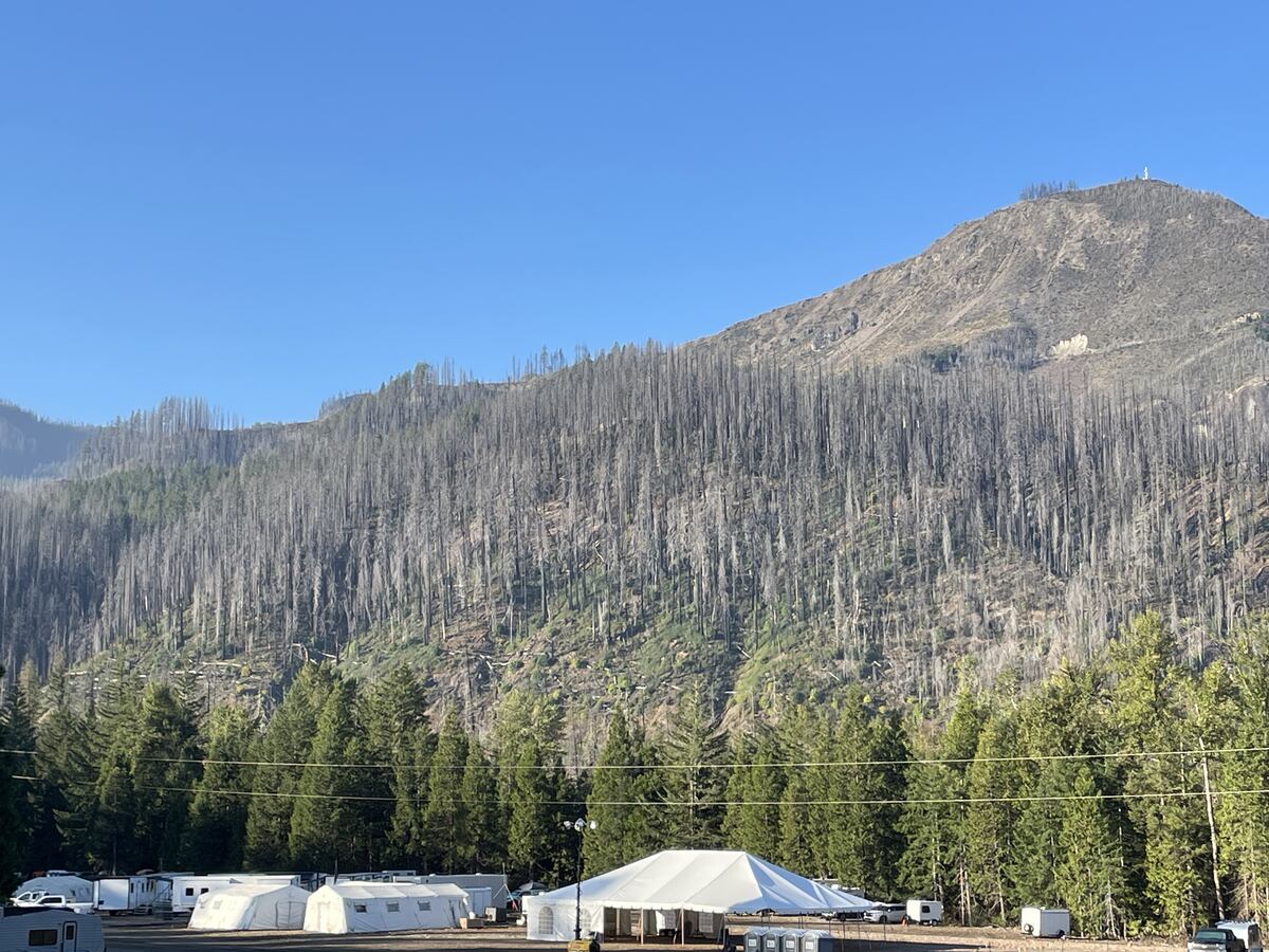
Cause – Lightning, Acres – 497, Percent Containment – 46%,
Helicopters – 2, Heavy Equipment – 9, Engines – 10, Crews – 7, Total Personnel – 329.
The Foley Ridge Fire is 46% contained. Yesterday, crews were still finding some heat sources across the fire area as they mopped up. The fire is holding in its current footprint and expected to smolder in deep duff material like leaves, needles, and branches that are on the forest floor. Good progress was made on the north side of the fire near Highway 242 (McKenzie River Highway), which does remain closed due to fire operations. Firefighters continued securing fire lines along Foley Ridge as they worked further in from the perimeter.
Today, operations will take advantage of slightly cooler temperatures and higher relative humidities. Crews will begin backhauling some structure protection equipment that is no longer needed, mop up heat sources, and patrol and secure the fire lines. The shaded fuel break work along Foley Ridge Road will focus on the section between the Foley Seed Orchards.
As fire personnel strategically work in various areas in and around the Foley Ridge Fire, residents and visitors can expect to see large trucks and equipment traveling through local communities. Courtesy on the road is very appreciated by firefighters as they navigate from fire camp to the fire lines and back each day.
Weather- Temperatures are forecast to be around 74 degrees, with light west winds of 5-7 mph in the valleys and gusts around 10-15 mph on ridges.
Closure- The Oregon Department of Transportation (ODOT) has closed approximately 21 miles of Highway 242 from the intersection with Highway 126 east to milepost 76 until further notice. Use an alternate route and expect delays. Visit https://tripcheck.com/ for real time information about all Oregon highways.
Closure – The Willamette National Forest has issued a closure for land, roads, and trailheads including Foley Ridge Road (Forest Service Road 2643). Closed campgrounds include Alder Springs Campground, Scott Lake Campground, Limberlost Group Campground. Closed Trailheads include Benson/Tenas Trailhead, Hand Lake Trailhead, Linton Lake Trailhead, Obsidian Trailhead, Proxy Falls Trailhead, Scott Trailhead, Rainbow Falls Trailhead, Separation Lake Trailhead. Inaccessible Trailheads include Foley Ridge Trailhead. The complete Foley Ridge Fire closure order, including a map, can be found at https://www.fs.usda.gov/r06/willamette/alerts/foley-ridge-fire-closure-order.
Evacuations- A Level 1 (Be Ready) evacuation remains in effect for HWY 242, Yale Camp, White Branch Youth Camp, and private residences off HWY 242. For more information on evacuation status please visit: https://experience.arcgis.com/experience/3293a4e0f6c1432f9d5b4e27380609fa/page/Wildfire-Evacuations
Author