
Make the McKenzie Connection!
Make the McKenzie Connection!
Study identifies 9 “hot spot” areas for improvement
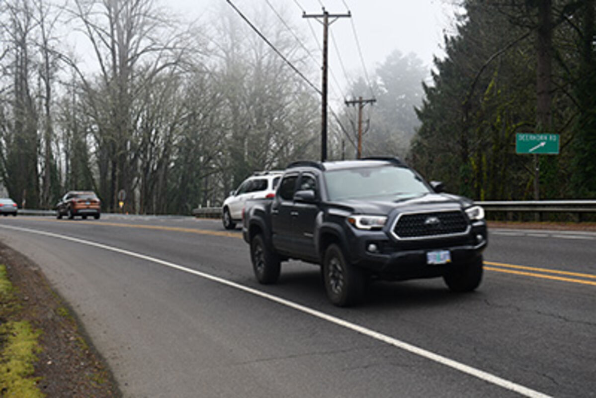
A newly released report contains several measures a transportation consulting firm says could improve safety along the Hwy. 126 corridor. Using crash data from 2016 to 2020, DKS Associates of Salem identified nine safety focus areas, primarily from Vida to the west. They include the Walterville canal bridge, the area near the Leaburg hydroelectric spillway, and Ben and Kay Dorris Park, as well as four intersections with Hwy. 126 - at Deerhorn Road, Ross Lane, Holden Creek (east and west), Johnson Creek Road, and Goodpasture Road.
Besides an in-person open house in February, public comments were collected online for two months. Other data came from highway crash rates, locations of fatal and serious injury accidents, and other Oregon Dept. of Transportation (ODOT) studies.
Many people indicated they supported constructing new slow-vehicle turnouts. ODOT, however, advised they are no longer allowed, saying they increase the risk of crashes when slow-moving vehicles enter or exit a highway without adequate space for decelerating and accelerating. However, several larger-scale projects were identified including constructing a roundabout at the Deerhorn Road intersection and widening shoulders near Ben and Kay.
The DKS report noted, “Longer-term projects will need to be re-evaluated in the future as the safety performance of the highway evolves due to changes in travel patterns, regional population growth, and land development along the corridor.”
The area with the most recorded accidents was the Deerhorn Road/Hwy. 126 intersection at Milepost 11.32. There were twenty-one crashes there from 2016 - 2020 resulting in two fatalities and two serious injuries. People who commented on the intersection noted its westbound rear-end accident history and suggested a lowered speed zone, creating a protected area for left-hand turns, and upgrades to visibility could increase safety there.
Eleven wrecks had occurred near the Ben and Kay Dorris park in an area extending from Mp. 29.15 to 30.05 - which includes a curve. Although no fatalities were involved, two people had been seriously injured. The consultants recommended a doze countermeasures for this stretch, taking into account the narrow width of the roadway and a steep dropoff along the eastbound shoulder.
More problems were identified near the Leaburg powerhouse and the Johnson Creek Road junction. Seven crashes involving a fatality and a serious injury happened near the dam’s spillway At the Johnson Creek intersection six wrecks included one that resulted in a serious injury.
In the other study zones, crashes ranged from four at Holden Creek to three at Ross Lane. Luckily, no fatalities occurred at either but there were two serious injury accidents at the Ross/Hwy. 126 intersection.
DKS didn’t conduct any speed limit evaluation studies but noted that ODOT had done some preliminary speed checks over the last five years. None, the agency felt, indicated the need for a full-speed evaluation (which is a more robust study to evaluate the need for a speed limit change).
The consultants reported that the existing speed limits through the area’s unincorporated small communities aren’t consistent. Vida’s speed limit is 40 mph while Leaburg and McKenzie Bridge have 45 mph speed limits. The other communities along the McKenzie River have 55 mph speed limits.
“This may be confusing to some drivers and discourage them from slowing down because they weren’t required to slow down through other communities,” DKS noted. Making the case for more continuity they advised that “if the speed limits were consistent, drivers would have consistent expectations and (hopefully) adjust their speed accordingly – slowing down as they pass through each community.”


Reader Comments(0)